-40%
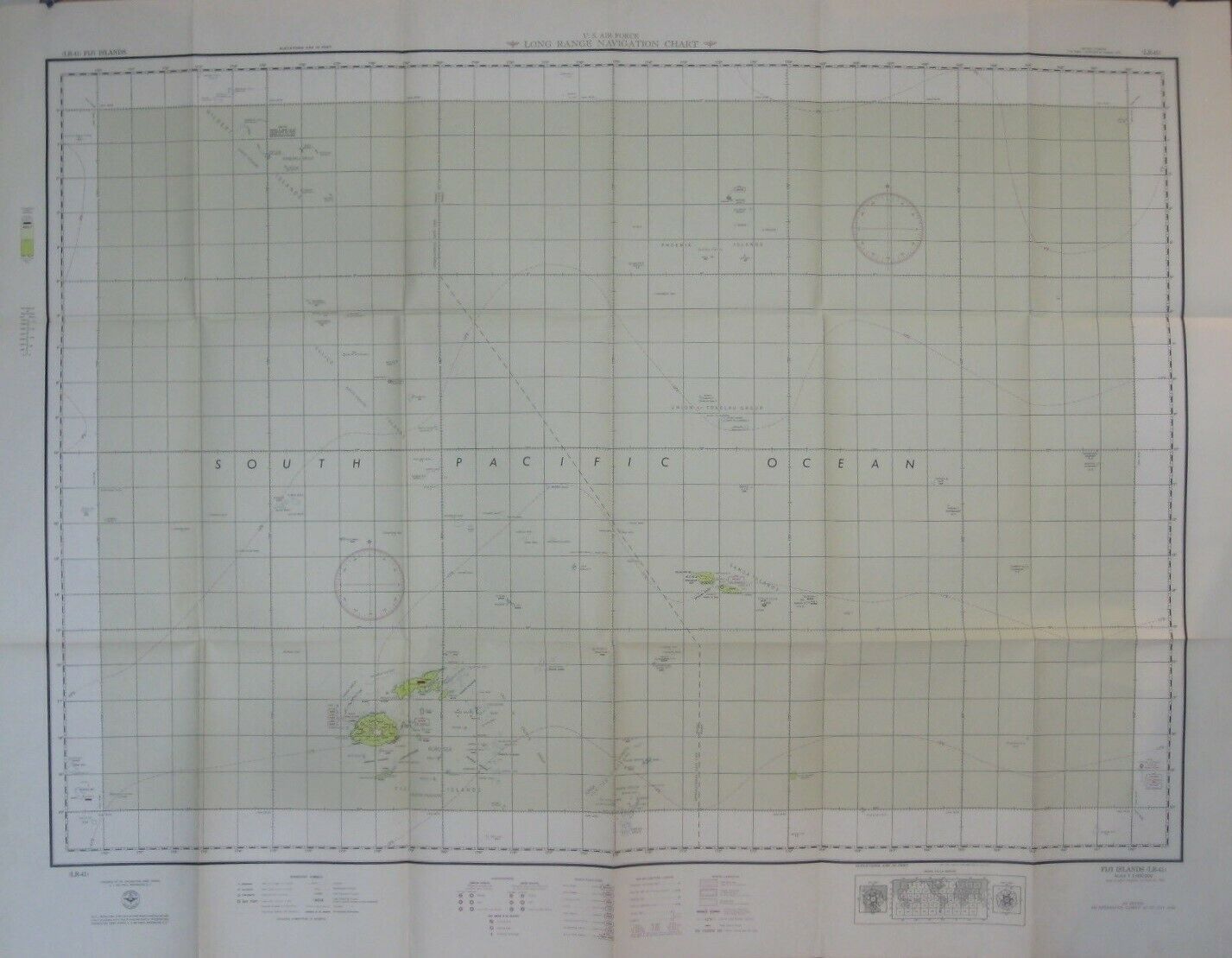
1950 US AIR FORCE Navigation Chart Map FIJI SAMOA TONGA Gilbert & Ellice Islands
$ 26.39
- Description
- Size Guide
Description
Large-format fold-out 1950 U.S. Air Force Long Range Navigation Chart covering part of the South Pacific, on both sides of the International Date Line.This map measures a very generous 102 x 131 cm [40" x 51¾"] and is drawn on a scale of 1:3,000,000.
It is identified as the "Fiji" sheet (LR-41), 4th Edition, July 1950.
The coverage area is bounded by longitude 170° E to 160° W and latitude 20° S to 0° (the Equator), including numerous island groups, atolls, banks, reefs, and bays.
Among the named places and features are the Gilbert and Ellice Islands, Samoa, Aitutaki, the Union or Tokelau Group, Tonga, Bligh Water, Oneanta Passage, Phoenix Islands, Koro Sea, Nonouti Atoll, Disney Reef, Tutuila, Danger Island, Rose Bank, Exploring Isles, Suva, Natewa Bay, and Fiji.
Condition:
This map is in
excellent condition,
bright and clean, with
no
rips, tears, or writing. It folds to 13½" x 8½" and is blank on the back, with no printing on the reverse side. Please see the scans and feel free to ask any questions.
Buy with confidence! We are always happy to combine shipping on the purchase of multiple items — just make sure to pay for everything at one time, not individually.
Powered by SixBit's eCommerce Solution
