-40%
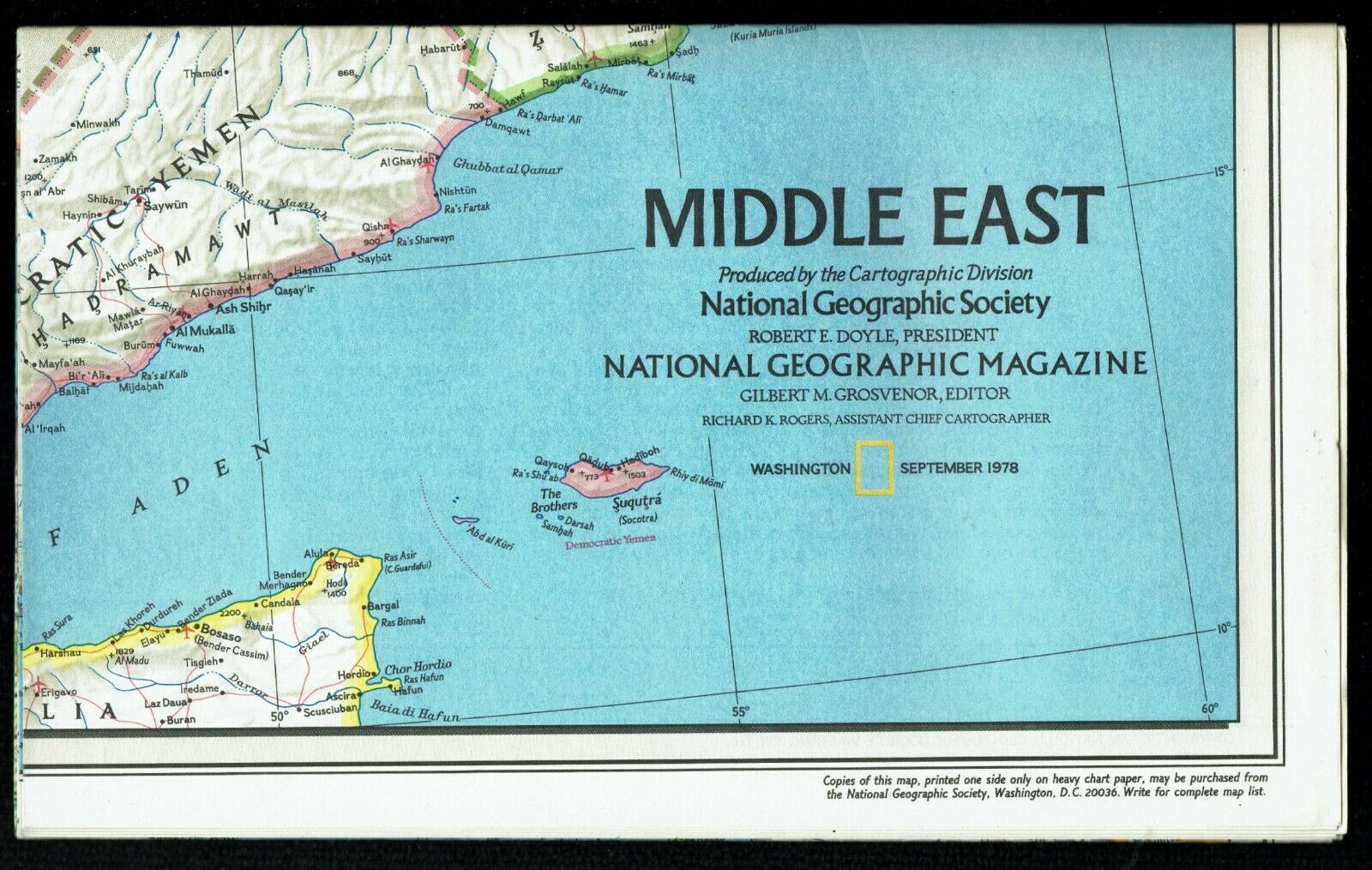
⫸ 1978-9 September MIDDLE EAST & EARLY CIVILIZATIONS National Geographic Map A3
$ 2.37
- Description
- Size Guide
Description
⫸1978-9 September Middle East & Early Civilizations - National Geographic Map Poster
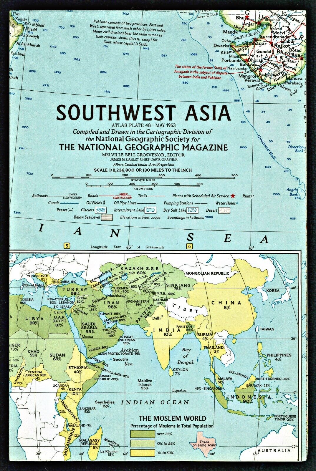
An important early map of the Middle East. The map side contains a classic National Geographic map of the Middle East from Egypt and Sudan to Oman and Iran. There is a large map inset of the Eastern Mediterranean countries from Egypt to Syria. The reverse-side contains an excellent study of the early civilizations in the Middle East from tribes to empires, again with a map of the Middle East on which are superimposed notations of the various civilizations and their locations plus a chronology of those civilizations. In addition, there are three map insets showing the extent of civilizations from 10,000 BC, major cities of the third millennium, and the Assyrian and the Neo-Babylonian Empires of 750-580 BC.
Our Middle East maps (for a more complete historic perspective) are our
1978-9 Middle East and Early Civilizations;
1980-9 Mideast in Turmoil, Two Centuries of Conflict;
1991-2 The Middle East; States in Turmoil and
2002-10 Middle East – Crossroads of Faith and Conflict.
Measures approximately 22” x 37”.
The National Geographic is known for it's fine maps & detailed information.
Supplement to the National Geographic Magazine; magazine is not included.
Always use your cart to obtain any discounts!
U.S. Shipping
- Please select:
1) USPS Mail Service or Media Mail (average delivery time) .50 for the first item and 50
¢ for each additional item.
2) USPS Package Service (faster delivery and with tracking) .00 for the first item and 50¢ for each additional item.
SAVE - MAP SALE - Select ANY 5 Maps - The lowest priced item is
FREE
- See eligible items above (top left).
x
x
x
