-40%
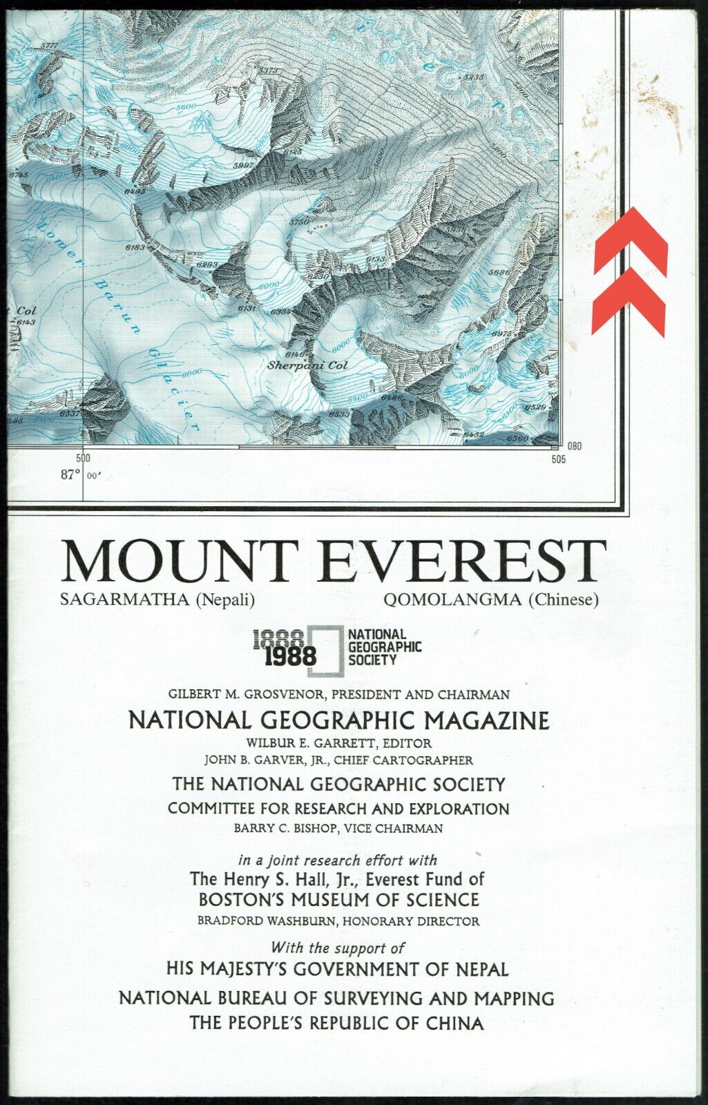
1988-11 November MT MOUNT EVEREST National Geographic Map Poster School - B (C)
$ 2.5
- Description
- Size Guide
Description
1988-11 November MT MOUNT EVEREST National Geographic Map Poster SchoolTwo exciting map-posters. One side displays the High Himalaya via a computer-generated landscape portrait taken from a point near Kathmandu. The reverse-side is a hand-drawn Swiss relief representation, which provides “the most detailed and accurate map ever made of Mount Everest.” which current digital technology has yet to match in such vivid detail. “Blue contours sit well in the overall design and take on the appearance of layers of ice.”
Map is approximately 23” x 36”.
The National Geographic is known for it's fine maps & detailed information.
Supplement to the National Geographic Magazine; magazine is not included.
Free shipping to U.S.
International shipping is by weight - contact us for discou
nted shipping r
ates before you purchase.
