-40%
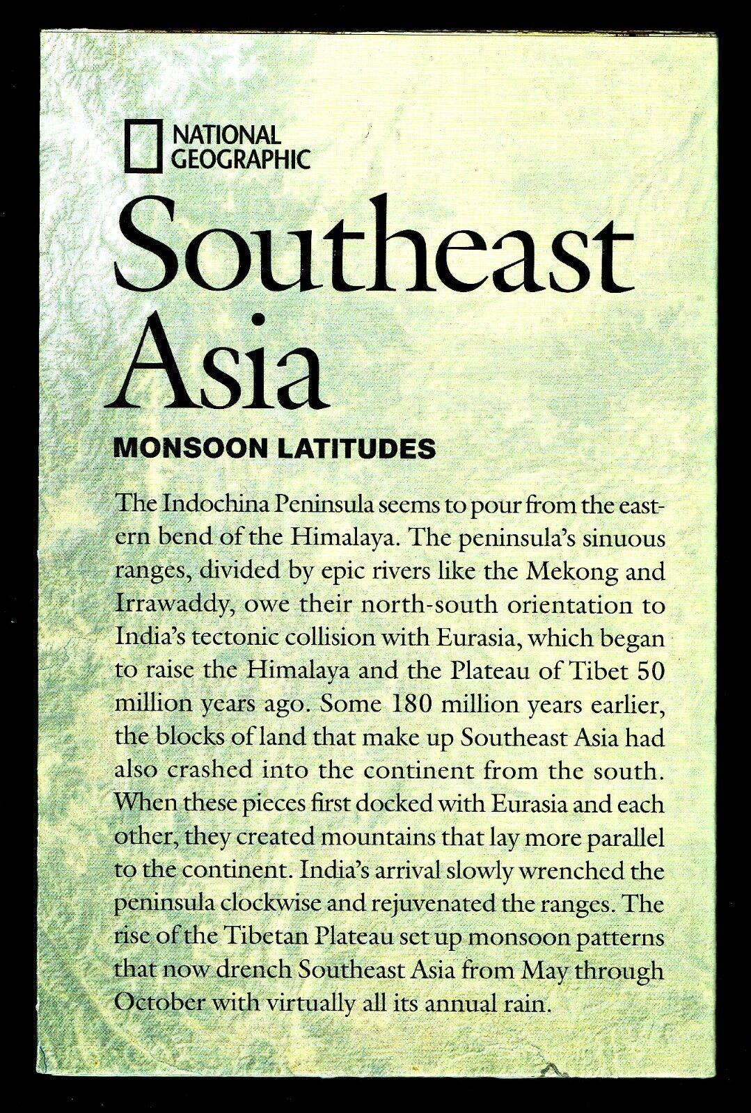
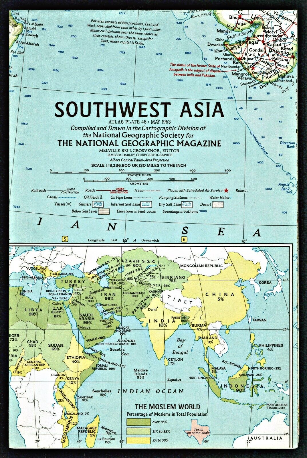
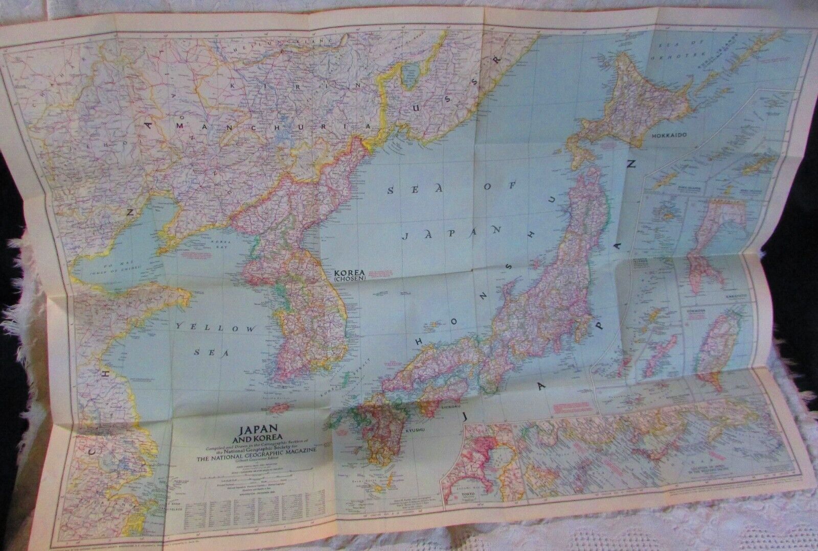
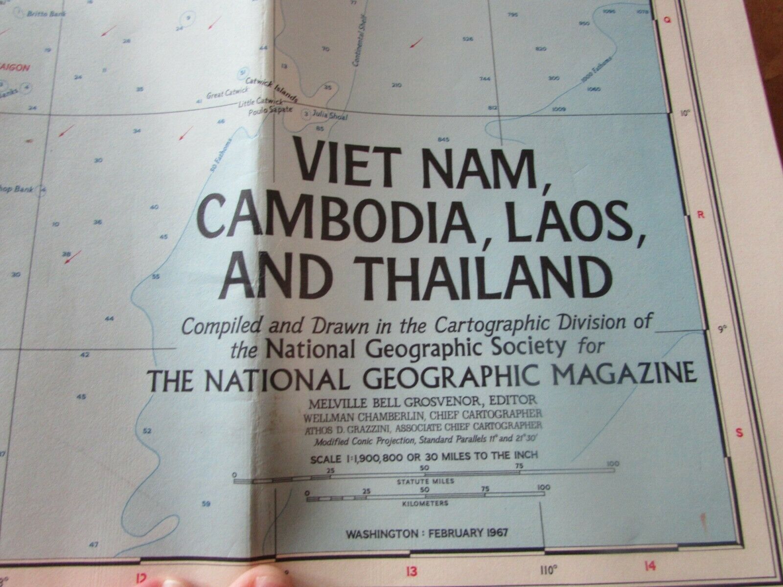
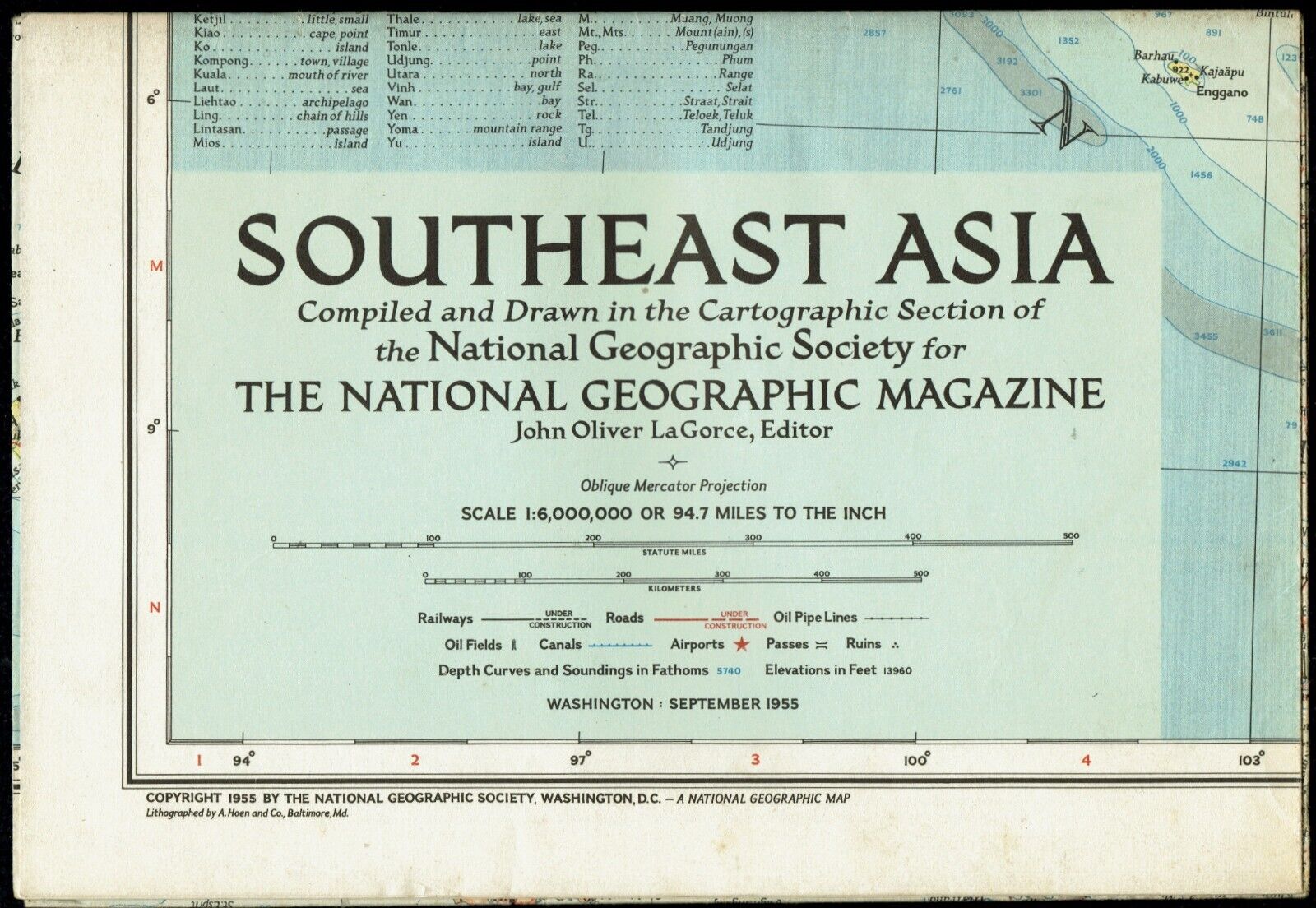
⫸ 2009-7 July SOUTHEAST ASIA Map & Khmer Empire Study - National Geographic A3
$ 2.64
- Description
- Size Guide
Description
2009-7 SOUTHEAST ASIA MAP & Khmer Empire Study – National Geographic Poster50 and 230 million years ago, giant tectonic plates crashed into each other, creating the Himalayas and the Tibetan Plateau. It is the Tibetan Plateau that sets up the monsoon rains that drench Southeast Asia from May through October, This is a study of southeastern Asia, comprised of Myanmar (Burma), Thailand, Laos, Vietnam, Cambodia, and Malaysia plus another study of the medieval Khmer Empire in Cambodia. The map-side contains a classic National Geographic topographical map of Southeast Asia, color-coded accorded to the dominant land cover. Roads, archaeological sites, gas, and oil fields are also pinpointed. A topographical narrative of each country is provided. The reverse-side is titled “the Khmer Empire” and contains an illustration of Angkor Wat, the world's largest religious monument, along with illustrations of some of the other major temples. Across the bottom is a time-line of the various major periods in the history of the Khmer Empire.
Map is approximately 31" x 20".
The National Geographic is known for it's fine maps & detailed information.
Supplement to the National Geographic Magazine; magazine is not included.
Always use your cart to obtain any discounts!
U.S. Shipping
- Please select:
1) USPS Mail Service or Media Mail (average delivery time) .50 for the first item and 50
¢ for each additional item.
2) USPS Package Service (faster delivery and with tracking) .00 for the first item and 50¢ for each additional item.
SAVE - MAP SALE - Select ANY 5 Maps - The lowest priced item is
FREE
- See eligible items above (top left).
x
x
x
