-40%
Topo Map MOUNT EVEREST Nepal China Himalayas Tibet Sagarmatha Chomolungma Asia
$ 5.27
- Description
- Size Guide
Description
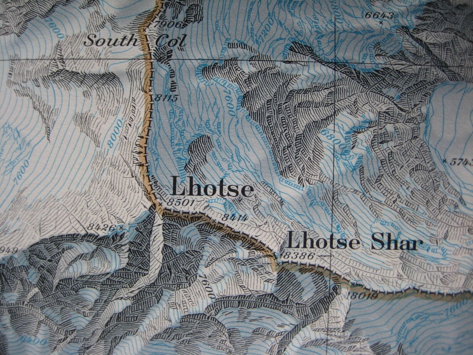
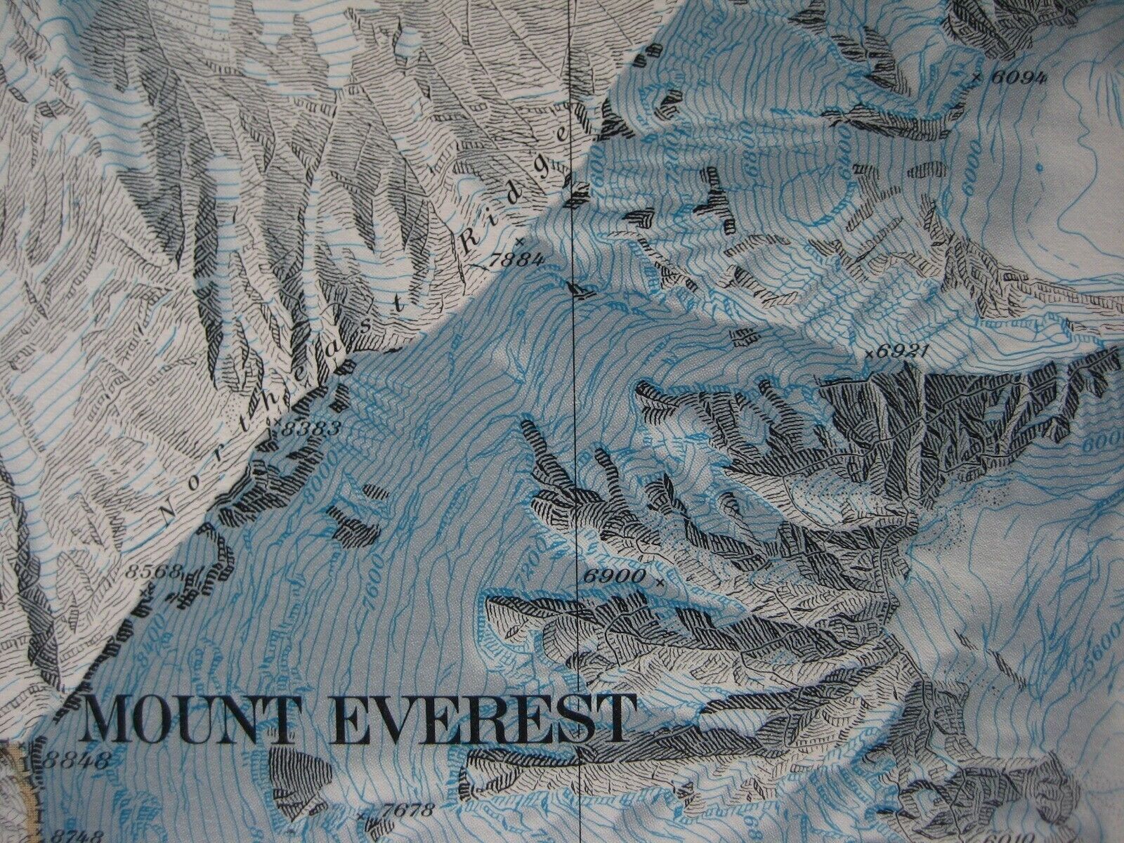
Handsome fold-out topographic map of Mount Everest and its neighboring peaks in China and Nepal.This map is lithographed in full color on two sides and opens to a generous 36" x 22½".
It has wonderful detail on a scale of 1:50,000, with place-names provided by linguistic experts, in consultation with the Chinese and the Nepalese mapping authorities.
A fascinating overview of the awesome Himalayas and the world's highest mountain — known as Sagarmatha in Nepal and Chomolungma in Tibet.
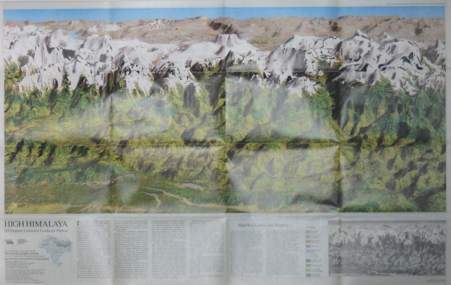
On the reverse side of the map there is a computer-generated landscape portrait of the area, titled
High Himalaya
.
It was published by the National Geographic Society as a supplement to the November 1988 issue of
National Geographic Magazine
.
Condition:
This map is in very good condition, bright and clean, with
no
rips, tears, or writing. It folds to approximately 9" x 6". Please see the scans and feel free to ask any questions.
Buy with confidence! We are always happy to combine shipping on the purchase of multiple items — just make sure to pay for everything at one time, not individually.
Powered by SixBit's eCommerce Solution

