-40%
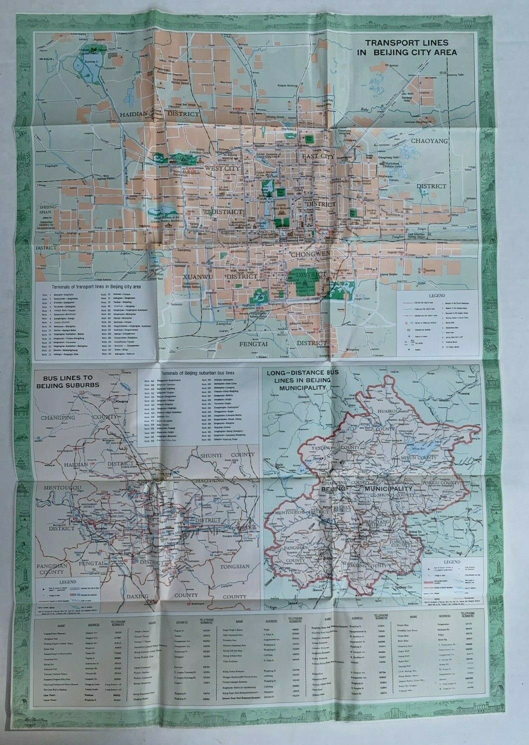
TOURIST MAP BEIJING CHINA 1979 BUS TRANSPORT LINES FOLDED MAP GREAT WALL ENGLISH
$ 19.8
- Description
- Size Guide
Description
1979 ENGLISH-LANGUAGE TOURIST MAP OF BEIJINGTOURIST MAP OF BEIJING.
Printed in China by the Cartographic Publishing House, 1979.
Vintage tourist map.
Folding transportation map, including long-distance bus and transport lines maps of Beijing and the suburbs. It measures 29 x 20 inches. Folded, and housed in pictorial folder. Very good condition, with light wear, few short tears at intersecting folds.
I've been buying and selling on ebay for more than 20 years, so purchase with confidence. I started this second account for some of the more ephemeral items I've come across.
